New sensor technology “at face level” for more accurate air quality measurements
August 2, 2020Israeli scientists from the Technion are developing a set of small portable sensors and a unique algorithm for accurate air pollution mapping in order to monitor the air we breathe more effectively
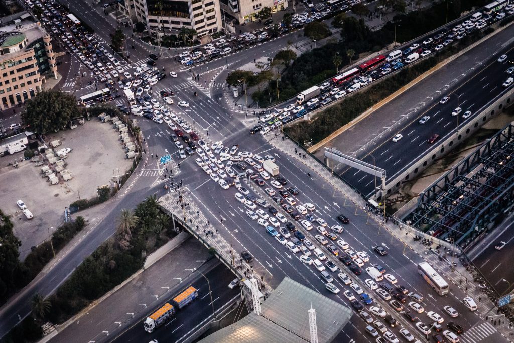
One of the most tangible and immediate environmental manifestations of the coronavirus crisis has been the reduction in emissions of air pollutants. According to a recent Israeli article published in the scientific journal “Ecology and the Environment,” the decline in pollutant emissions ranged from 3 to 13 percent (for sulfur and benzene oxides, respectively) and is largely due to decreased car, train and boat traffic.
Dense urban centers such as Tel Aviv, Haifa, and Jerusalem also saw a 49-61 percent decrease in the concentration of nitrogen dioxide measured at transport monitoring stations – encouraging news amid the corona pandemic, both from an environmental and public health standpoint.
According to the World Health Organization, every year, 4.2 million people die from environmental (external) air pollution. In Israel alone, experts estimate that air pollution is responsible for the untimely death of 2,000 people each year.
Where are the gauges?
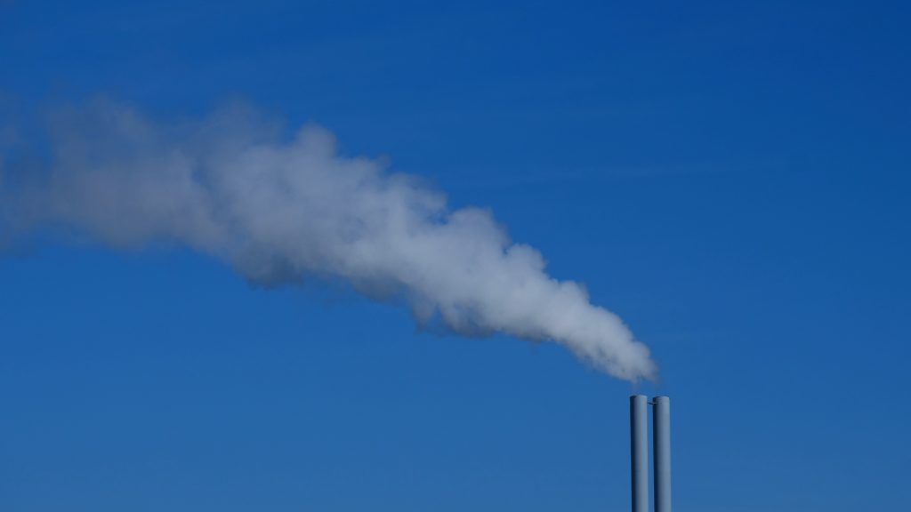
However, when analyzing scientific data, one should also consider how and where they were measured. The National Air Monitoring Network encompasses more than 140 air monitoring stations spread throughout Israel, and are jointly operated by different environmental associations, local authorities, the Israel Electric Company, industrial plants, and the Ministry of Environmental Protection. Regulations stipulate that measurements must be made at a minimum height of 12 meters, which is why monitoring stations can usually be found on very high roofs or masts.
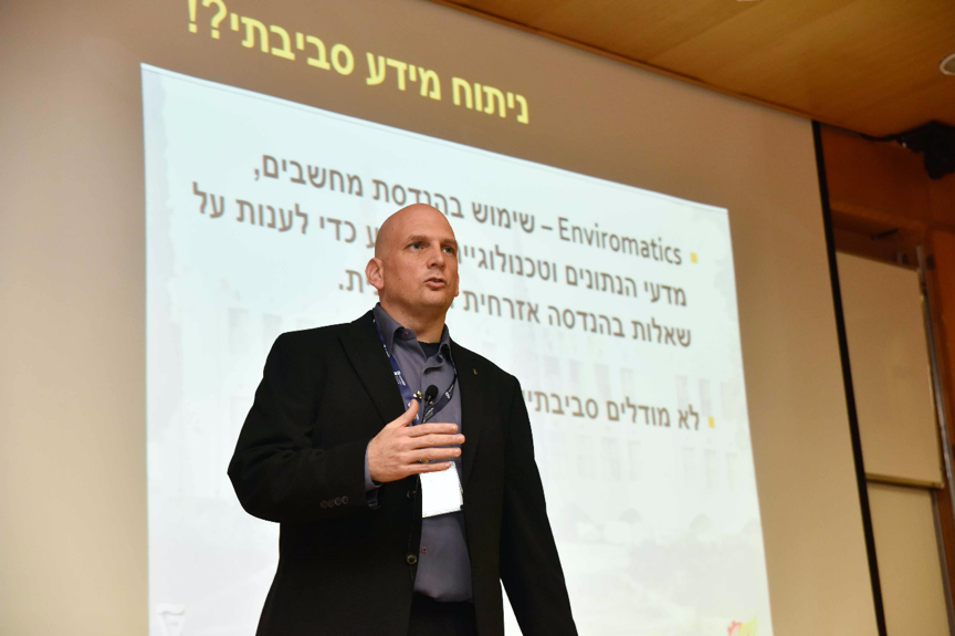
According to Associate Prof. Barak Fishbain of the Technion’s Faculty of Civil and Environmental Engineering, the fact that the monitoring stations are located at a higher altitude and not closer to the ground “at face level,” makes the collected data less accurate.
“From the moment a pollutant is emitted – from a car, for example – until it reaches these heights, chemical processes have already completely changed the composition of the substance. Therefore, the relationship between what we measure and what we breathe is not strong enough for us to reach definitive conclusions about the relationship between air pollution and morbidity,” he says.
According to Fishbain, another problem with conventional measurements is that most monitoring stations are located mainly in residential areas. Thus, most pollutants are not measured at their sources – that is, in industrial parks, or in areas where factories and power plants are located. If the sensor is positioned far from the source of pollution, then lower measurements are obtained.
“Further, when there is a harmful contaminant leaking into the environment, and you want to pinpoint the plant where the leakage is coming from, there is no way of doing so. The sensors are not located near the factories, so it’s impossible to trace the origin of a leak,” he adds.
In addition, Fishbain notes that it is common to build air pollution maps based on models.
“These models are accurate when it comes to large scale mappings, such as the entire State of Israel or the entire Bay of Haifa, but when it comes to small areas, like a single neighborhood or a street, conventional models are no longer relevant. In those cases, experts use interpolation methods (a technique that allows new information to be generated from existing data sets) instead of models,” Fishbain says. “The problem is that interpolation is a mathematical method that does not take into account the pollutants’ chemical and physical behavior,” he adds.
Smaller sensors and an updated algorithm
In order to get a better picture of the actual level of air pollution, Fishbain and his lab developed a new type of cheap, low-cost wireless sensors that can be easily distributed on a large scale.
“These are small sensors, the size of a cigarette box, so they are portable and can be carried in one’s pocket. Anyone can take one of these sensors anywhere and make their own measurements. The sensor detects the pollution levels at the exact spot where the person is standing, giving the user not only more authentic air pollution measurements, but also a much better exposure assessment,” he emphasizes.
Prior to the development of the portable sensors, Fishbein also created a fixed infrastructure using the same technology as part of a research study. This project included the deployment of a small network of sensors throughout the Neve Sha’anan neighborhood in Haifa in order to measure the degree of air pollution in different streets of the area. The research itself was part of a larger European project called CITI-SENSE, whose primary purpose is to make the public aware of the air quality in their city.
But Fishbain and his team did not settle for the distribution of their “at face level” sensors. The scientists also developed a designated algorithm that combines the model method with the interpolation method, which can be applied to the data obtained by the sensors.
According to Fishbain, the new algorithm makes it possible to create more accurate air pollution maps.
“Once you take a model and utilize its ability to relate to the physics and chemistry of pollutants and connect it to the interpolation methods capable of addressing the nuances of small scales, their conjunction produces an algorithm that allows the construction of accurate maps that take into account the highly sophisticated chemical and physical properties,” Fishbein explains.
According to Fishbain, air pollution maps created with this method could become essential for regulatory purposes as they enable the detection of pollutant sources, which would make it possible to hold factories and the people in charge accountable and make it easier to ensure better air quality.
Lastly, through the right application of the data from the new maps, it will become possible to obtain more accurate information about the relationship between concentrations of a particular air pollutant and the degree of morbidity. Those findings could significantly advance the field of research on air pollution and public health.
This ZAVIT article was also published in NoCamels on 07/20/2020.
Say No to Overflow: a Solution Against Floods?
A new Israeli invention – rainwater storage tanks to be placed on residential buildings and controlled by a computerized system – may reduce the load on the drainage systems in cities, thereby helping to minimize the dangerous floods Israel has encountered in the recent winters
The Answer is Blowing in the Wind
A new Israeli invention facilitates water desalination, using a unique wind turbine with a vertical rotation axis, that works without electricity. This invention answers the problem of the vast energy consumption of the current desalination process and could allow residents of isolated communities to enjoy fresh water